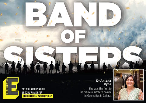

Dr Anjana Vyas is the perfect incarnation of 'women can do it all'. We don't see or get the chance to interact with women like her quite often. Currently, Dr Vyas is a Senior Consultant at the Centre for Applied Geomatics and a Visiting Professor at the Faculty of Technology, CEPT University, Ahmedabad. Even at the age of 65 years, she's unstoppable. She is an Urban Planner, has a Master's in Economics and Urban Planning and a PhD in Governance. Her specialisation is Geospatial Technology, Remote Sensing and Geographic Information System, Urban Planning, infrastructure and environment. Geomatics is the discipline concerned with the collection, distribution, storage, analysis, processing, presentation of geographic data or geographic information. Remote sensing is the acquisition of information about an object or phenomenon without making physical contact with the object and thus is in contrast to on-site observation.
She has over 40 years of experience in teaching and research. Dr Vyas is the one who started the Master's in Geomatics at CEPT University, the first institute to introduce this in the entire state of Gujarat. She has won several awards, undertaken over 50 research projects as the lead and published more than 100 papers in peer-reviewed journals, conference proceedings and books. Currently, she is working on research with DST on the topic 'Assessment of Government of India’s Gender Mainstreaming Programmes for Women in Science'.
We spoke to Dr Vyas about her area of research, why she chose such an uncommon subject and more. Excerpts:
Where did you study Remote Sensing and why did you start a Geomatics course?
I studied Remote Sensing for a year at the Indian Institute of Remote Sensing in Dehradun and returned to CEPT around 1987-88. I began teaching remote sensing and planning and then, 16 years ago, I started the Master's programme in Geomatics. Geomatics has a lot of potential, that's why I introduced it as a subject. Engineers, architects and others interested can join this course. And a lot of students are learning GIS now, which will make these subjects more popular.
Why are subjects like Geomatics, Remote Sensing uncommon? Why don't a lot of people take up these?
Actually, that's a misnomer. It might not be common but it is useful. Even when we are not Science students in school, we are taught Geography at a young age. We know the maps. We are actually trained when it comes to higher studies or upskilling in the fields like geomatics and remote sensing. In India, what happens though is that there is less amount of education and there are restrictions in map and map policies so far. We have never considered cartographers as higher-level professionals with high salaries but they are actually very accurate. Hence, Geomatics is not a very popular subject.
It is sometimes considered to be a tool, but not a full-fledged subject or department. You don't know why you would be going to a Geomatics expert. Even government ministries require maps, not just to know what is where but to know which areas and where to solve problems. These are questions associated with that. This requires Geomatics, GIS.
The 90s, I feel, was the best time to popularise these subjects and make use of them but at that time, the right kind of publicity wasn't done. It took us a long time to reach where we are today, each of the ministries are asked to use GIS. This is a breakthrough. The only question that remains is how many people are skilled to do this or can deliver in Geomatics. If we don't give more consideration in teaching such subjects, then we will have a lack of manpower. Awareness has started coming in now. It should start from schools, geography should be taught in the form of GIS. Young children will grasp these concepts better. Why should we wait till their graduation? This could become part and parcel of academics.
What made you choose this area of study?
After my Master's in Urban Planning, it gave me a wide spectrum of understanding about housing, air quality, disaster, governance and so on, which were all included in the subject. My perspective on how I looked at planning changed completely, it expanded my horizon. Then I went on to study remote sensing and GIS as it was related. It made me happy, I learnt how technology can help in urban planning. You can understand so much in real-time. That's when I felt that when I return to CEPT, I should introduce the subject for others. So I learnt whatever I could.
